Project Overview
raSmith, in conjunction with WisDOT and the City of Brookfield (City), designed improvements for a 2.1-mile section of Calhoun Road from CTH M (North Avenue) to STH 190 (Capitol Drive) in the City of Brookfield. This project navigated substantial design and environmental challenges to expand an important route in the heart of Brookfield from a two-lane rural roadway to a four-lane divided roadway with bicycle and pedestrian facilities. The project was subsequently selected to receive the 2022 Excellence in Highway Design Award.
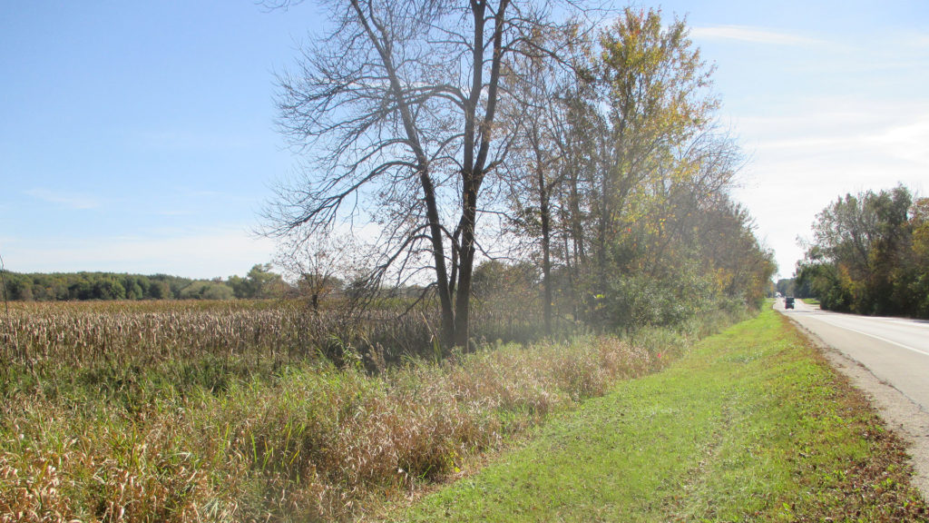
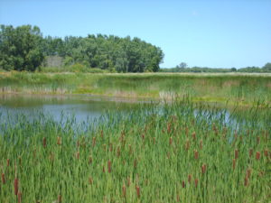
During the initial planning of the project in 2016, the raSmith ecological team was retained by the City to complete a wetland delineation within the transportation corridor. The wetland delineation consisted of a review of available maps and information followed by fieldwork in October 2016 to document field conditions. The presence and absence of hydrophytic vegetation, wetland hydrology and hydric soil indicators were documented using methodology defined in the US Army Corps of Engineers (USACE) 1987 Wetland Delineation Manual and its adopted Regional Supplement. Thirteen wetlands totaling 4.3 acres were identified and delineated within the project corridor as well as two waterways and one excavated landscape pond. The boundaries of these features were subsequently located by raSmith’s survey crew and this information was used during the design process to minimize wetland and waterway impacts.
As part of the due diligence process for this project, WisDOT requested concurrence with effects determinations of “May Affect, Not Likely to Adversely Affect” the Federally-Endangered Rusty Patch Bumblebee (RPBB – Bombus ifinis) in accordance with Section 7 of the Endangered Species Act (ESA). Initial assessments did not identify RPBB as having critical habitat within the project area. However, in February 2020, the High Potential Zone (HPZ) for the RPBB was updated and was found to intersect the project area. The ecological team at raSmith prepared a summary assessment of the existing habitat accompanied by RPBB habitat maps showing the total area of habitat proposed to be impacted. It was determined that only low-quality degraded habitat would be impacted by the project and could be mitigated by replanting with a pollinator seed mix after project construction.


