Project Overview
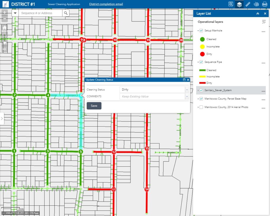
The City of Manitowoc Department of Public Works (DPW) was using a 20-year-plus automated mapping/facilities management system to manage its stormwater discharge system. The GIS professionals at raSmith worked with the City to develop a cloud-based mapping solution that now enables City staff to 1) immediately synchronize data collected in the field on an iPad with the office database rather than manually downloading data back at the office and 2) better identify the proximity of all infrastructure to be inspected in sequential order when conducting inspection activities.
Prior to implementing this new cloud-based solution the City’s Department of Public Works was tracking sewer maintenance records via a Microsoft Access Sewer Management System. This automated program provides a routine maintenance (cleaning) function. Storm sewer operations consist primarily of annual vacuuming and leaf cleaning of manholes, inlets and catch basins. Field staff was assigned work orders to guide their maintenance duties. A laptop database was used to log a structure’s data through a textual interface. Upon returning to the office, field staff downloaded the field data from the laptop to the office database.
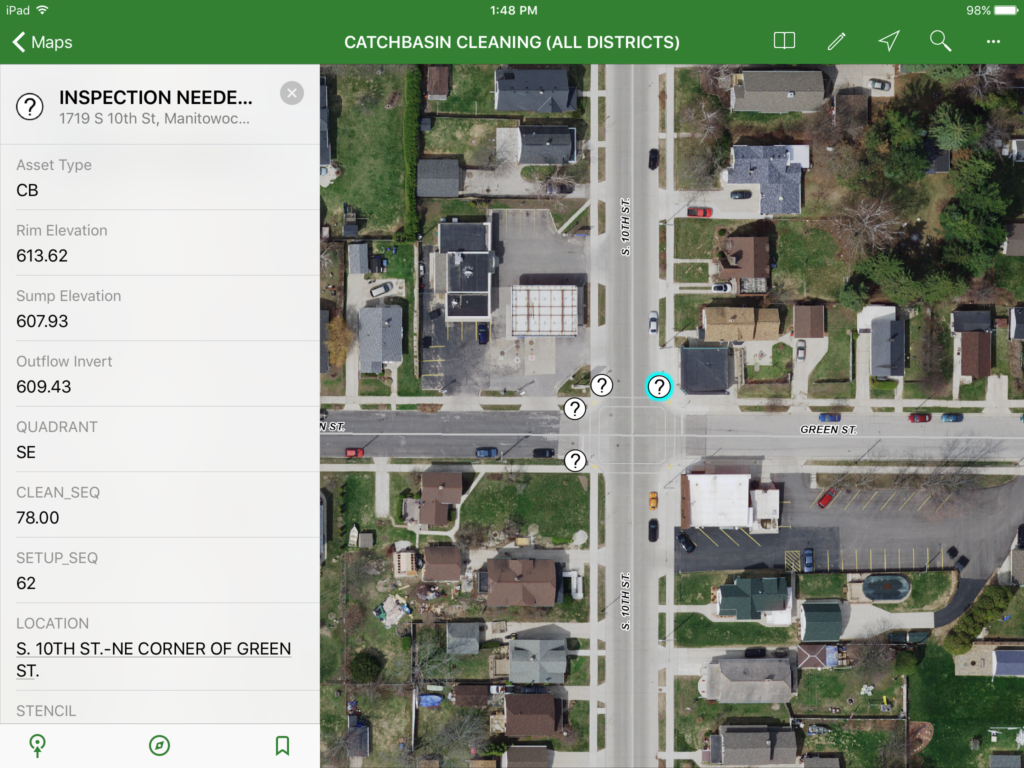
Today the City of Manitowoc is benefitting from raSmith’s implementation of a cloud-based solution. Here’s how it works. Staff log in on their iPads to access the cleaning map connected to the internet. The user enters metrics such as date inspected and a depth to debris in the structure. After a minimal amount of input, a calculation triggers the symbol of the selected structure to change color and shape to indicate the next maintenance activity. Based on the entered values, the structure should either be cleaned or marked as inspected. The data entered in the map interface is then virtually synchronized back to the office database. The maintenance activities are processed into the City’s legacy Sewer Management System for annual report publishing.
