Project Overview
Every two years Wisconsin municipalities are required to manage, and update the condition of, their local roads in the Wisconsin Department of Transportation’s WISLR (Wisconsin Information System for Local Roads).
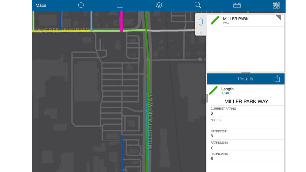
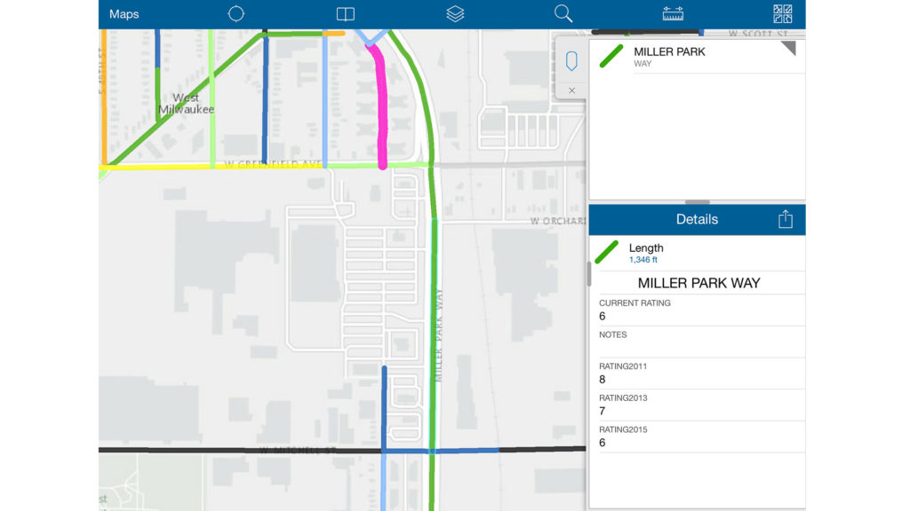
raSmith works with several local units of government to accomplish this task by driving the roads and summarizing the condition of a particular roadway segment with a value from 1 to 10, with 1 being the worst condition. Upon update of the geospatial linework representing the local roads, raSmith begins to formulate a pavement maintenance and/or a replacement plan for the next five-plus years. This is a budgeting practice that helps alleviate unplanned “bumps in the road” for municipal officials. Additionally, a map that categorizes each value enables the viewer to visualize the roads that require either an immediate action or just a general maintenance activity to be performed.
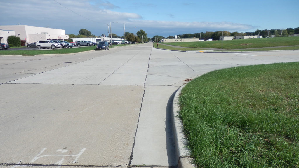
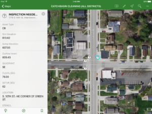
raSmith utilizes an efficient approach to capturing and entering the condition rating value. As our staff drives the local roads, the passenger uses mobile technology to instantly update the geospatial linework back at the office. An iPad, a tablet device, is connected to the web, which in turn is connected to a web-accessible, editable and secure mapping service. Staff no longer need to take paper maps into the field; update them with pens, pencils, highlighters, crayons, etc.; and then return to the office only to re-enter the data into the database system.
Project Gallery